Map
Boulder Interactive Mapping Tools
-

PlanIT Geo Canopy Analysis/Planning Tool
**Currently unavailable pending review** Use this tool to review tree canopy data for Boulder County, model future scenarios, and view plantable area.
-

Resilient Analytics Climate Risk/Resilience Modeling & Scenarios
This comprehensive tool provides information about current conditions in Boulder including vegetation, impervious surfaces, and floodplain data, while also incorporating climate projections, demographic information, and adaptation concerns.
-

Boulder Urban Heat Map
Explore this StoryMap to learn about our 2022 community scientist heat mapping project and review urban heat maps of Boulder.
Learn more about the City of Boulder’s approach to nature-based solutions
-
![Aerial photo of Boulder Flat Irons]()
Land-Based Carbon Inventory & Nature-Based Solutions
The first ever inventory of carbon stocks and vulnerability to carbon loss for the City of Boulder Open Space and Mountain Parks land, as well as an analysis of the potential for ten different nature-based solutions for carbon drawdown. Photo courtesy of Frank Beck
-
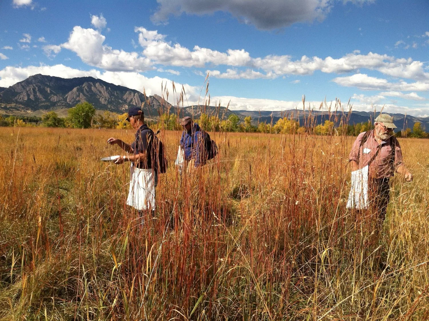
![Three people collecting seeds in a Boulder open space]()
Native Seed Collection
Learn about how the City of Boulder Open Space and Mountain Parks Department (OSMP) uses native plant species for ecological restoration.
-
![A fireman controls a prairie fire while wearing protective gear]()
Prescribed Burning
Historically fire played a significant role in maintaining the ecological health of our forests and prairies. By introducing prescribed fires, the City of Boulder can restore the natural balance for Colorado’s fire-adapted ecosystems and reduce the amount of fuel in the forest during a wildfire.
-
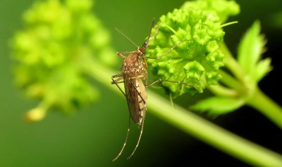
![Closeup of a mosquito sitting on a bright green flower]()
Ecological Mosquito Management
The city's innovative mosquito management program uses a combination of traditional mosquito management tools, as well as ecosystems protection and biodiversity surveys to manage mosquitoes and protect human health.
-
![A thumbnail summarizing the Boulder Integrative Pest Management program]()
Integrative Pest Management
A guide to the City of Boulder’s Integrative Pest Management program which aims to support ecosystem health and reduce reliance on pesticides.